Wetland Delineation & Jurisdictional Determination (JD)
What is it?
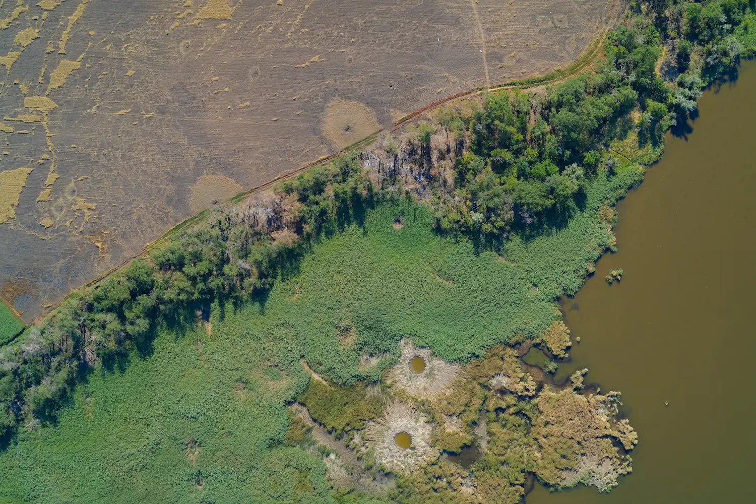
Wetland Delineation is the scientific process of identifying and marking the boundary between uplands and wetlands based on hydrology, hydric soils, and hydrophytic vegetation. In Florida, this follows the unified state methodology [Chapter 62-340, Florida Administrative Code (F.A.C.)]. Federal wetland determinations, where applicable, utilize the 1987 USACE Wetland Delineation Manual and Waters of the United States (WOTUS) under the Clean Water Act (CWA).
A Jurisdictional Determination (JD) is the official state and federal agency validation of this jurisdictional wetland line. This service ensures regulatory clarity and gives project teams the environmental foresight needed for planning and compliance.
Who needs this service?
- Landowners and Developers: To determine “buildable” acreage.
- Engineers: For site plan design and stormwater calculations.
- Governmental Entities: For public works planning, zoning, and natural resource management planning.
What does it include?
- Desktop Review: Analyzing Historical Wetland Aerials, National Wetland Inventory maps, LiDAR elevation data, and soil surveys.
- Field Delineation: Hanging wetland flagging along the boundary based on soil characterization, hydrologic indicators, and observed wetland vegetation. Flags are documented using a GPS-enabled device
- Geographic Information System (GIS) Mapping: Sub-meter accuracy mapping of the GPS wetland delineation flags by professional surveyors, if needed, for overlaying on site plans is an optional service.
- Agency Verification: Meeting Florida Department of Environmental Protection (FDEP) or Water Management District (WMD), and/or U.S. Army Corps of Engineer (USACE)staff on-site to defend the line and obtain a formal or informal JD.
Why is it important?
Wetland delineations are crucial to identify precise, regulated boundaries for development, ensuring compliance with strict federal (USACE), state (FDEP), and local regulations. Ignoring this requirement can lead to costly delays, enforcement actions, or permanent impacts on project viability.
Deliverables
- Wetland Survey Map: Field map with GIS location of flags. Signed and sealed survey maps are an optional service
- Data Forms: Completed Chapter 62-340 Florida Administrative Code (FAC) Form documenting soil profiles, plant species, and hydrologic indicators.
- JD Petition Package: Formal JD requests are available for state agency verification for jurisdictional wetland delineation.
Let’s Get Started
Don’t invest in land without knowing the facts. Contact us today to schedule your Wetland Delineation & Jurisdictional Determination (JD) and ensure your investment aligns with your goals.
